Brighton Antique Prints and Maps
Currency
WOOCS 2.1.5
VIEW CART
  • CURRENCY

    WOOCS 2.1.5
  • Home
  • Catalogue
    • Antique Maps
    • Antique Prints
    • Books & Gov’t Reports
    • Manuscript Documents
  • Recent Arrivals
  • About
  • FAQ
  • Register Interests
  • Contact Us
2-159  Tallis map of Tartary

Home/Antique Maps/Asia/China & Japan & Korea

Antique Map 2-159 Tallis map of Tartary

$290.00

SKU: 2-159 Categories: Antique Maps, China & Japan & Korea, Other
16-260  World - Admiralty chart - Wind chart  c.1879
  • Description

Asia – Independent Tartary

J Tallis – circa 1851
Steel engraving
Condition A+


These may also be of interest

  • 2-159  Tallis map of Tartary
    Antique Maps

    Antique Map 2-159 Tallis map of Tartary

    $290.00
  • 2-123 - Asia - Central Asia J Archer - circa 1840 Outline colour steel engraving 28cm X 23cm Condition A
    Antique Maps

    Antique Map 2-123 – Asia – Central Asia J Archer – circa 1840 Outline colour steel engraving 28cm X 23cm Condition A

    $150.00
  • China & Japan & Korea

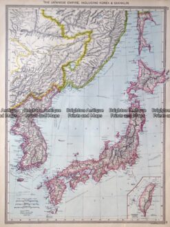
    Antique map – Japan by Harmsworth c.1905 Ref: 415-011

    $90.00
  • China & Japan & Korea

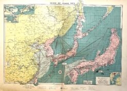
    Antique map – China, Korea and Japan with shipping routes c.1913. Ref: 339-026

    $120.00
© 2026 BRIGHTON ANTIQUE PRINTS AND MAPS. ALL RIGHTS RESERVED | Website by Blaze Online
Credit Card
Norton Safe Web Transaction
  • Home
  • Catalogue
    • Antique Maps
    • Antique Prints
    • Books & Gov’t Reports
    • Manuscript Documents
  • Recent Arrivals
  • About
  • FAQ
  • Register Interests
  • Contact Us
  • View Cart
  • Login
  • Currency
    WOOCS 2.1.5

Sending...